
 July 2014
From the summer trailhead, we trekked downhill a third of a mile. This is the Braille Nature Trail, which has a cable for the sight-impaired to follow and several braille signs that describe some natural highlights in the area.
The braille trail came to a clearing with picnic tables and an outhouse. We continued forward, and crossed a bridge and came to a “B/B” sign which indicated we were on the Beaver Brook Trail. If you see a sign with mileage, that’s the distance to Windy Saddle on Lookout Mountain, which is supposed to be a nice adjunct if you want to extend your hike.
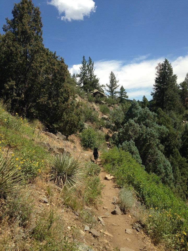
 The next section of Beaver Brook trail begins to soothe your senses with outdoorsy tree smells and birdsong. We went at the beginning of July, and there were lots of flowers and butterflies. Before long, you should hear the sound of Beaver Brook as it flows nearby. After a couple of miles, the trail turns sharply right.
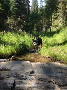
Keep your eyes peeled for the Chavez Trail sign. If you miss it, no big deal. There are plenty of options here, but the Chavez trail turns Beaver Brook into a loop hike. The next part is great if you like water like I like water. But if you don’t like getting your tootsies wet, then you might not be as happy about it because there 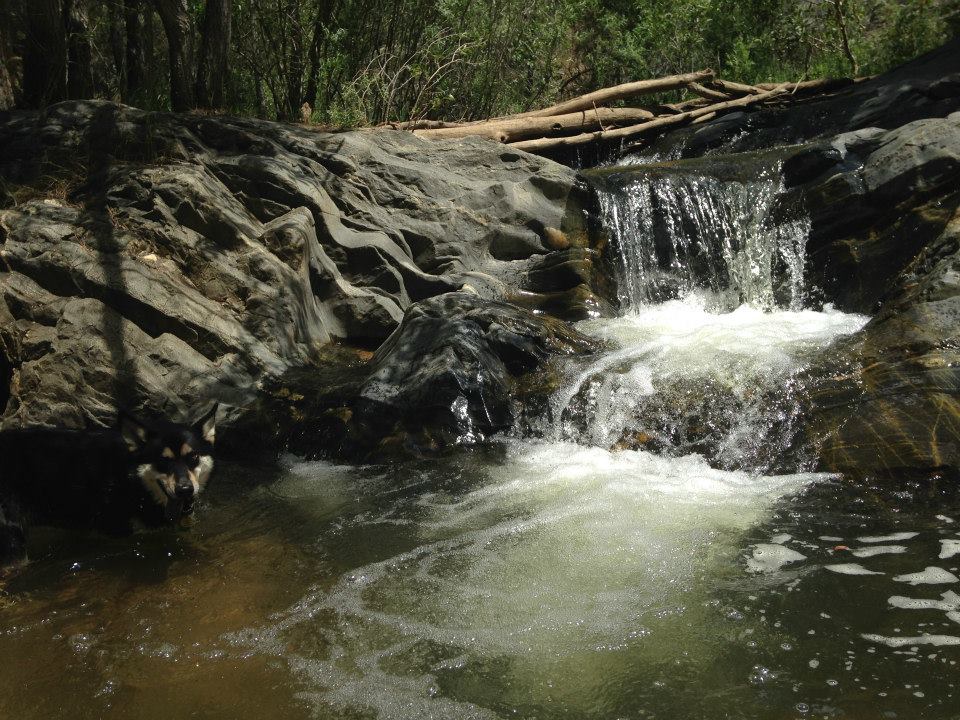 are a few places where you cross the river without a bridge. Lovely little waterfalls sculpt the rocks into works of art. Simply beautiful.
The Chavez Trail ends near the Chief Hosa campground. Follow the road and signs a quarter of a mile back to the trailhead.
Getting There:
There are different ways of getting to the Beaver Brook trailhead, and a variety of hiking options within this nest of trails. The description below is our experience.
 We took I-70 to Exit 153/Chief Hosa. At the off-ramp stop sign, we turned north, and then immediately right on to Stapleton Drive, a bumpy dirt road. The trailhead was about a mile from I-70. The summer trailhead has two small parking lots with informational signs. The winter trailhead has one small parking lot. If you come when the gate is closed, you’ll have to hike about 0.4 miles from the winter parking lot to the summer trailhead.
Yes, your dog is supposed to be kept on a leash.
Yes, streams and small falls.
Yes.
About 800′ for the sections we did.